AA Trucker's Atlas
AA Trucker's Atlas
Couldn't load pickup availability
Author:
England | Bridges | Travel maps & atlases | Road atlases & maps
Published on 4th December 2025 by AA Publishing (Automobile Association) in the United Kingdom.
Spiral bound |
404mm x 294mm x 14mm | 960g

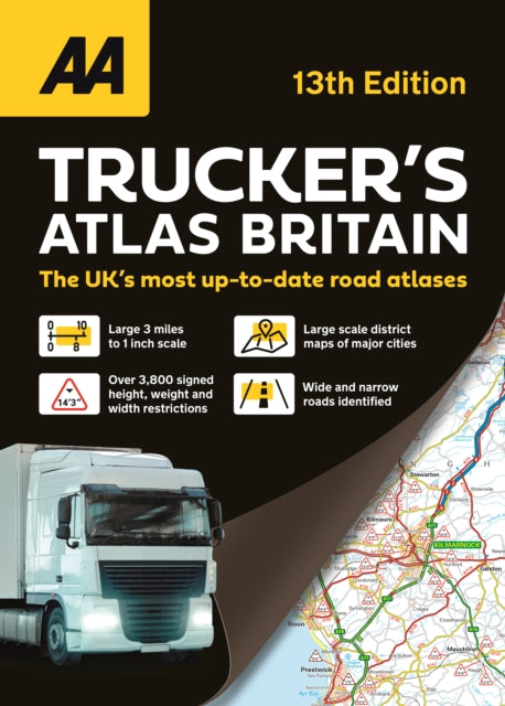
Fully updated for 2026, the AA Trucker’s Atlas includes truck and ferry routes and port plans, route planner map, quick reference distance chart and an explanatory list of restricted motorway junctions. Additionally, there is a 12-page section of London street mapping with height, width and weight restrictions clearly marked, as well as large scale district maps of London, Birmingham, Glasgow, Manchester and Tyne & Wear. Information of particular importance to truck drivers is emphasised on the mapping which includes over 3,600 bridge heights, with the most frequently struck rail bridges highlighted. Roads less than 4 metres wide are distinguished, as well as road tunnels, toll roads, service areas, steep gradients, level crossings and low emission zones. A special feature, in conjunction with Network Rail’s campaign, provides useful information on prevention of bridge strikes–an essential read for all truck drivers and other professionals in the haulage industry.