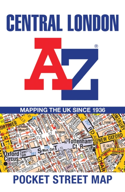
Central London A-Z Pocket Street Map
Central London A-Z Pocket Street Map
Couldn't load pickup availability
Author: A-Z Maps
London, Greater London | Place names & gazetteers | Travel & holiday guides | Travel maps | Street maps & city plans
Published on 20th June 2024 by HarperCollins Publishers (HarperCollins) in the United Kingdom.
Sheet map, folded | 1 pages
150mm x 100mm | 270g

Navigate your way around Central London with detailed street maps from A-Z
This fully updated, folded map covers all of Central London, including: Regent's Park, King's Cross, The Barbican, Spitalfields, Tower Bridge, The South Bank, Waterloo Station, Westminster, South Kensington, Paddington Station and Lord's Cricket Ground.
This large scale 1 mile to 4.5 inch (1 km to 7.14 cm) street map includes the following:
• Places of interest
• One-way streets and car parks
• Index to streets, places of interest, place and area names, park and ride sites, national rail stations, hospitals and hospices
• Separate lists of streets, places of interest, cinemas, theatres and stations (which include London Underground, National Rail and Docklands Light Railway stations)
• A central London Underground Map is printed on the back cover.
The perfect reference map for finding your way around Central London.