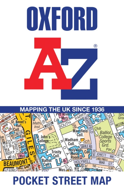
Oxford A-Z Pocket Street Map
Oxford A-Z Pocket Street Map
Regular price
£3.99 GBP
Regular price
Sale price
£3.99 GBP
Unit price
per
Tax included.
Shipping calculated at checkout.
Couldn't load pickup availability
Author: A-Z Maps
Oxfordshire | World atlases / world maps | Travel & holiday guides | Travel maps | Street maps & city plans
Published on 20th June 2024 by HarperCollins Publishers (HarperCollins) in the United Kingdom.
Sheet map, folded | 2 pages
140mm x 90mm | 270g

Navigate your way around Oxford with detailed street maps from A-Z
This up-to-date, folded A-Z street map includes 1,600 streets in and around Oxford. As well as the University of Oxford colleges, the other areas covered are Jericho, Cowley, Botley, Carfax, St Giles, Headington, Marston and University Parks.
The large scale 1 mile to 5.5 inch (1 km to 8.68 cm) street map includes the following:
• Places of interest
• Oxford cycleways and routes
• One-way streets and car parks
• Index to streets, places of interest, place and area names, park and ride sites, national rail stations, hospitals and hospices
The perfect reference map for finding your way around Oxford.